
Colosseum Google Maps: Satellite Map
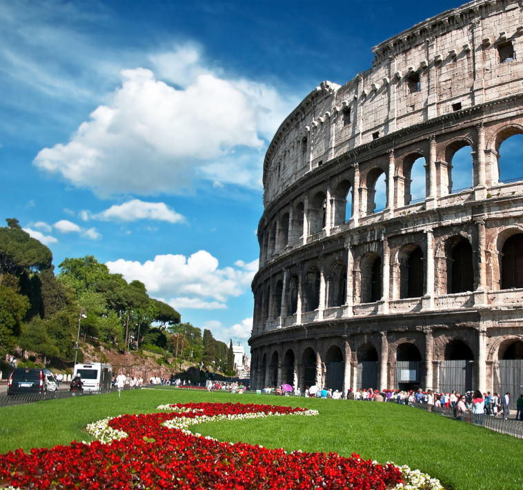
The Colosseum, located in the heart of Rome’s historic center, is one of the most iconic landmarks in Italy. Its exact geographical coordinates are 41° 53′ 24″ North and 12° 29′ 33″ East, placing this monumental amphitheater in the bustling region of Lazio. Known in Italian as the “Colosseo”, it stands as a testament to ancient Rome’s architectural brilliance and cultural heritage. For those seeking to explore it through a bird’s-eye view, Google Maps provides high-resolution satellite images that capture the Colosseum’s massive elliptical structure in stunning detail.
Address and Surroundings:
- Colosseum Address: Piazza del Colosseo, 1, 00184 Roma, Italy
- Positioned near other significant historical sites such as the Roman Forum and Palatine Hill, the Colosseum benefits from a central location that makes it a must-see for travelers. Surrounding the structure, you’ll find bustling cafes, souvenir shops, and scenic viewpoints that offer photo-worthy angles of this ancient marvel. Using Google Maps’ satellite view, you can easily spot the paved walkways encircling the Colosseum, providing a clear sense of the amphitheater’s scale in relation to the modern city.
Using Google Maps for a Satellite View
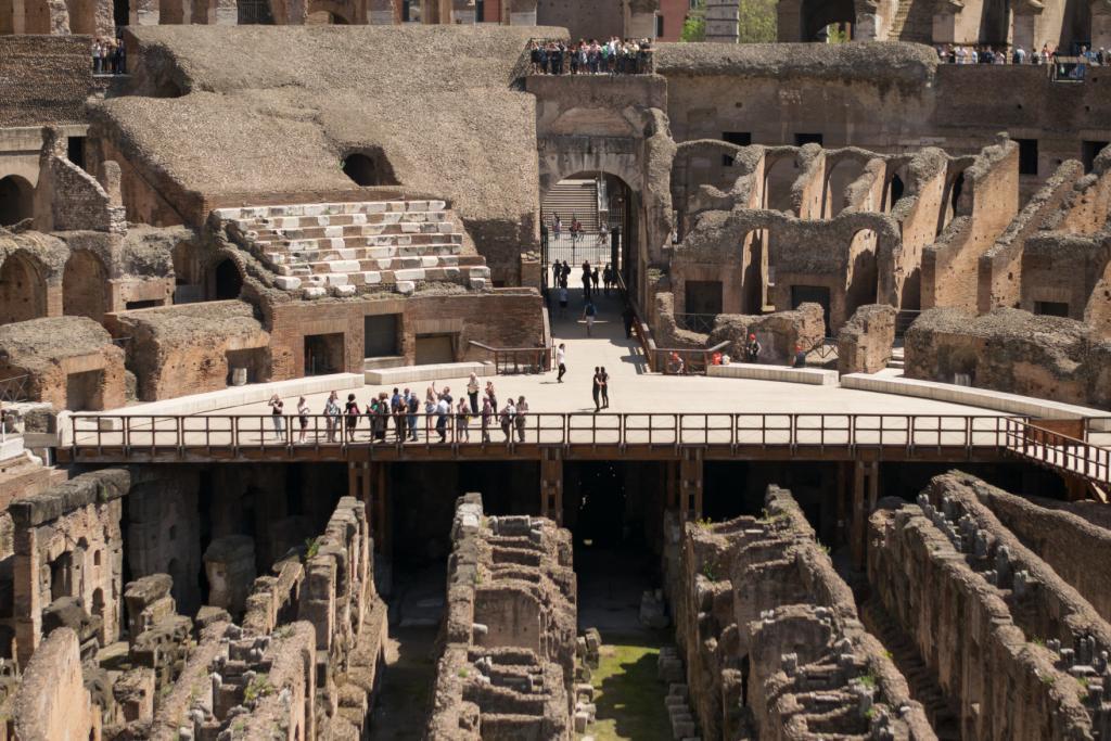
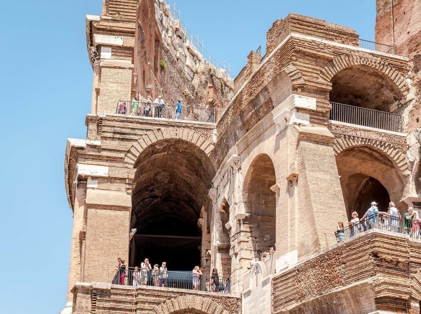
Google Maps’ satellite view is particularly helpful for virtual explorers who want to appreciate the Colosseum’s grand scale and the intricate layout of its surroundings. Zoom in on the area around Piazza del Colosseo to observe details of the building’s exterior walls, arches, and the pathways that guide visitors through centuries of history. You can also switch to Street View mode to virtually walk around the amphitheater, examining the area’s architecture from multiple angles.
Colosseum Google Maps: Street View
Colosseum Aerial Photos:
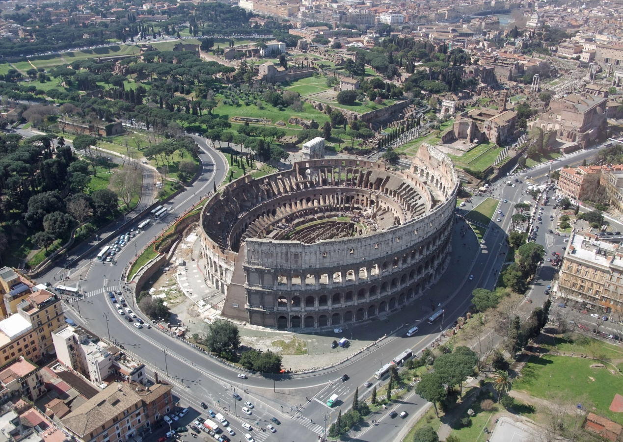
Aerial of the Colosseum with Palatine Hill in the background Rome Italy
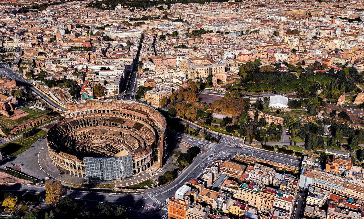
Roman Colosseum from Drone view
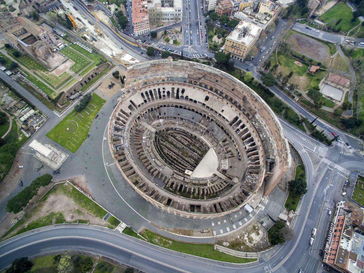
Aerial shot of the Colosseum in Rome, Italy


Leave a Comment